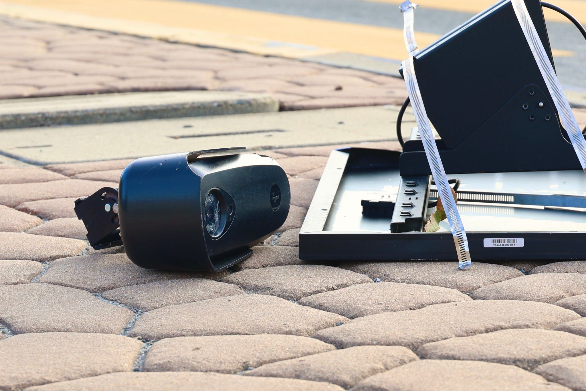
The app functions as a community-driven repository where volunteers pin the locations of surveillance devices owned by companies like Motorola Solutions, Genetec, and industry giant Flock Safety. While the platform maps various hardware, Flock cameras account for roughly 82 percent of the 128,988 devices currently tracked. This digital tally represents a significant portion of the 120,000 cameras Flock claims to operate across 49 states.
Proponents of the tool argue that mass surveillance often operates without public consent or awareness, framing the map as a vital step toward transparency and accountability. Unlike the proprietary systems it monitors, DeFlock claims to collect no user data, keeping all activity local to the contributor's device. These cameras have become increasingly contentious, as they allow police, schools, and homeowners associations to convert passing vehicles into searchable records, complete with license plates, vehicle models, and specific physical identifiers like bumper stickers or dents.

Comments (0)
No comments yet. Be the first!